1.Its Birth
Pursuit of a livable town
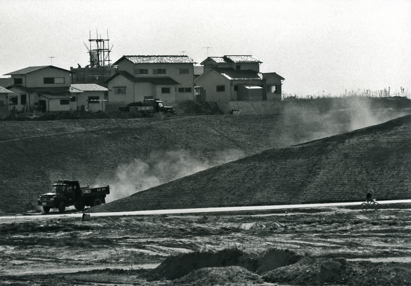
Following World War II, the Japanese who had been living in its then colonies returned to Japan where many houses had been lost during the war. In addition, as the country began to show rapid economic growth and industrialization in around 1955, a massive number of people began flooding into large cities in search of work. This created serious problems of overcrowding and lack of privacy as people were obliged to live in small dwellings together with large families. From the point of view of urban planning, suburban sprawl could not be left uncontrolled either.
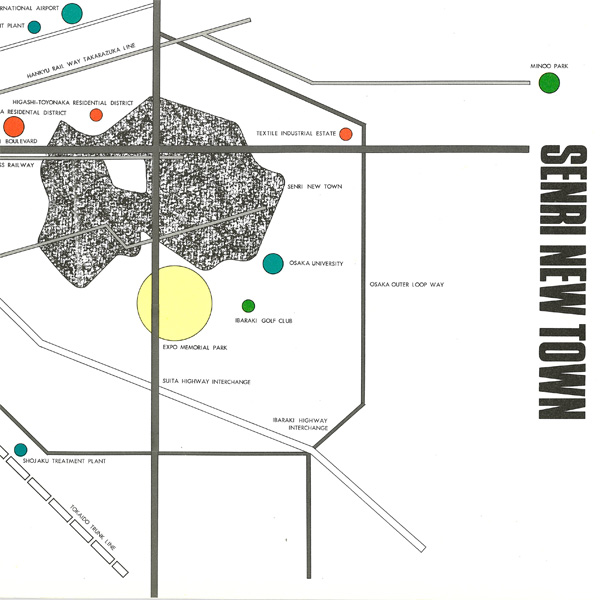
The Osaka Prefectural Government decided on a policy to construct over one million dwelling units. As part of the priority measures, it launched the Senri New Town project on the Senri Hills in the northern part of the prefecture, in order to create a good living environment through the provision of a large number of low cost quality dwellings and housing sites. This was the first large-scale new town project in Japan.
Japan’s first large-scale new town project
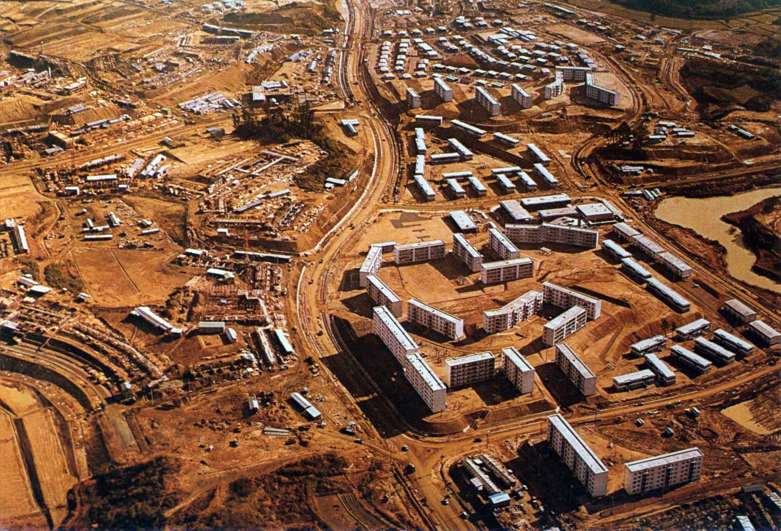
Following a preparatory study beginning in about 1956, implementation of this project was approved in 1958. The master plan, initially based on 2,500 hectares, was revised to 1,160 hectares for the final plan in 1960, in accordance with the prefectural finances. The construction began in 1961 and the first residents moved into the Satakedai unit in 1962. Meanwhile, legislation concerning the development of new towns was introduced.
| Location | Suita City and Toyonaka City, Osaka Prefecture |
| Operating body | Public Enterprise Bureau, Osaka Prefectural Government |
| Developed area | 1,160ha |
| Planned population | 150,000 |
| Number of dwellings | 37,330 |
| District/Neighborhood unit | Suita City: 2 districts/8 neighborhood units Toyonaka City: 1 district/4 neighborhood units |
| District size per city | Suita City: 791 ha/approx. 100,000 residents Toyonaka City: 369 ha/approx. 50,000 residents |
Photo courtesy of the Osaka Prefectural Government
2.Planning
A planned city based on the neighborhood unit theory
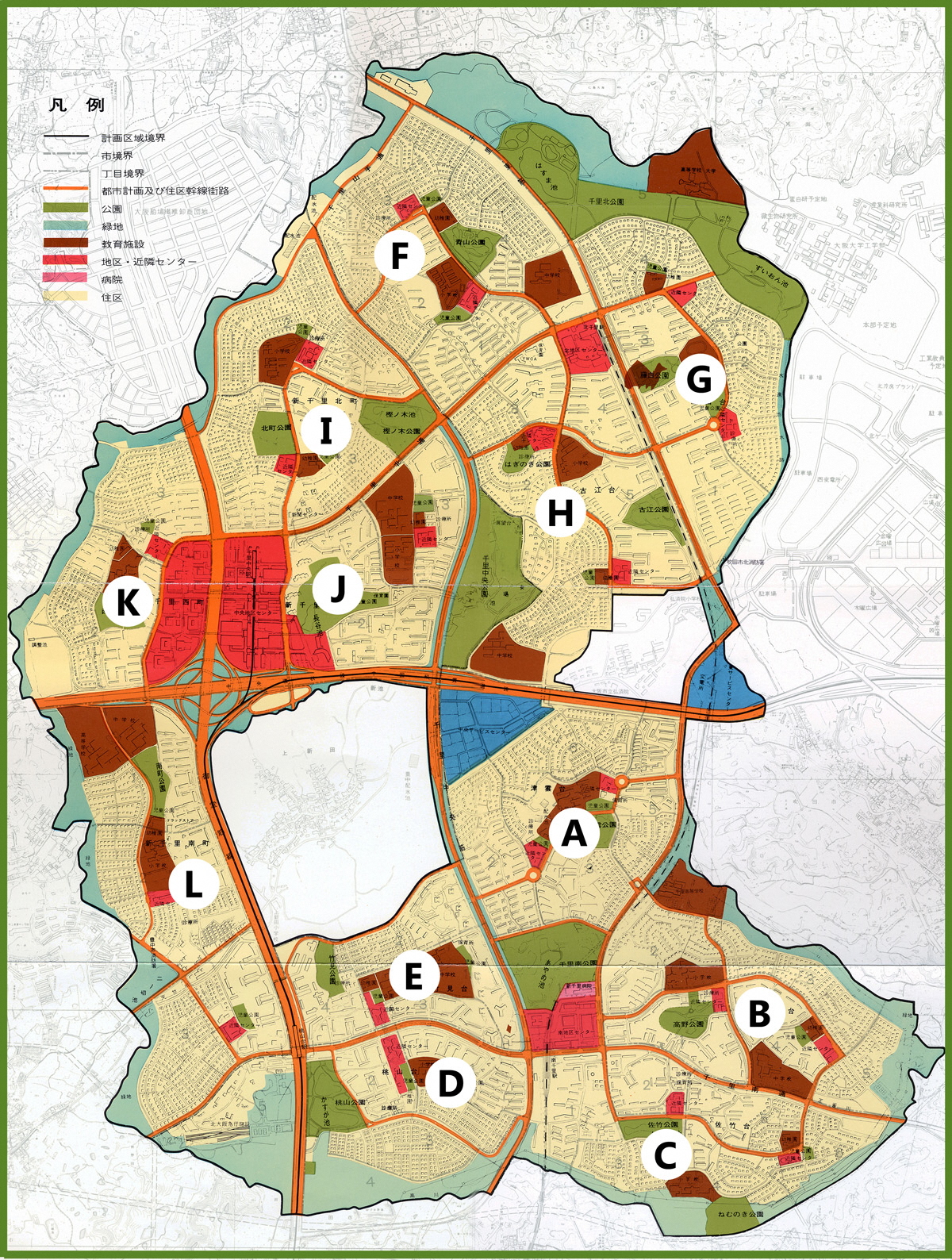
In Senri New Town, a master plan was first formulated, and then roads, railways, parks, schools, retail shops and other elements were provided both comprehensively and systematically based on the neighborhood unit theory. This was an entirely different approach from the old urban development. While bringing together the wisdom of Japan, the plan incorporated many advanced case studies of new town projects of the West.
【Senri Housing Project Development Plan】
Source: Construction of Senri New Town, published by the Osaka Prefectural Government
Districts and neighborhood units
The entire site was divided into three districts; south, north and center, which were subdivided by main roads into a total of 12 neighborhood units (primary school districts), named by either ending with “dai” or beginning and ending with “Shinsenri/machi” respectively, in which Neighborhood Centers and parks were allocated. The neighborhood units consisted of 60 to 100 hectares each. The neighborhood unit theory systematized by the American, Clarence Perry in the 1920s, is one of the concepts that encouraged the construction of 20th century new towns.
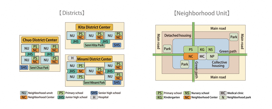
Diverse mix of housing types
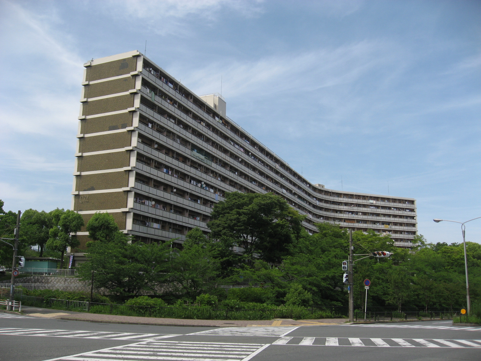
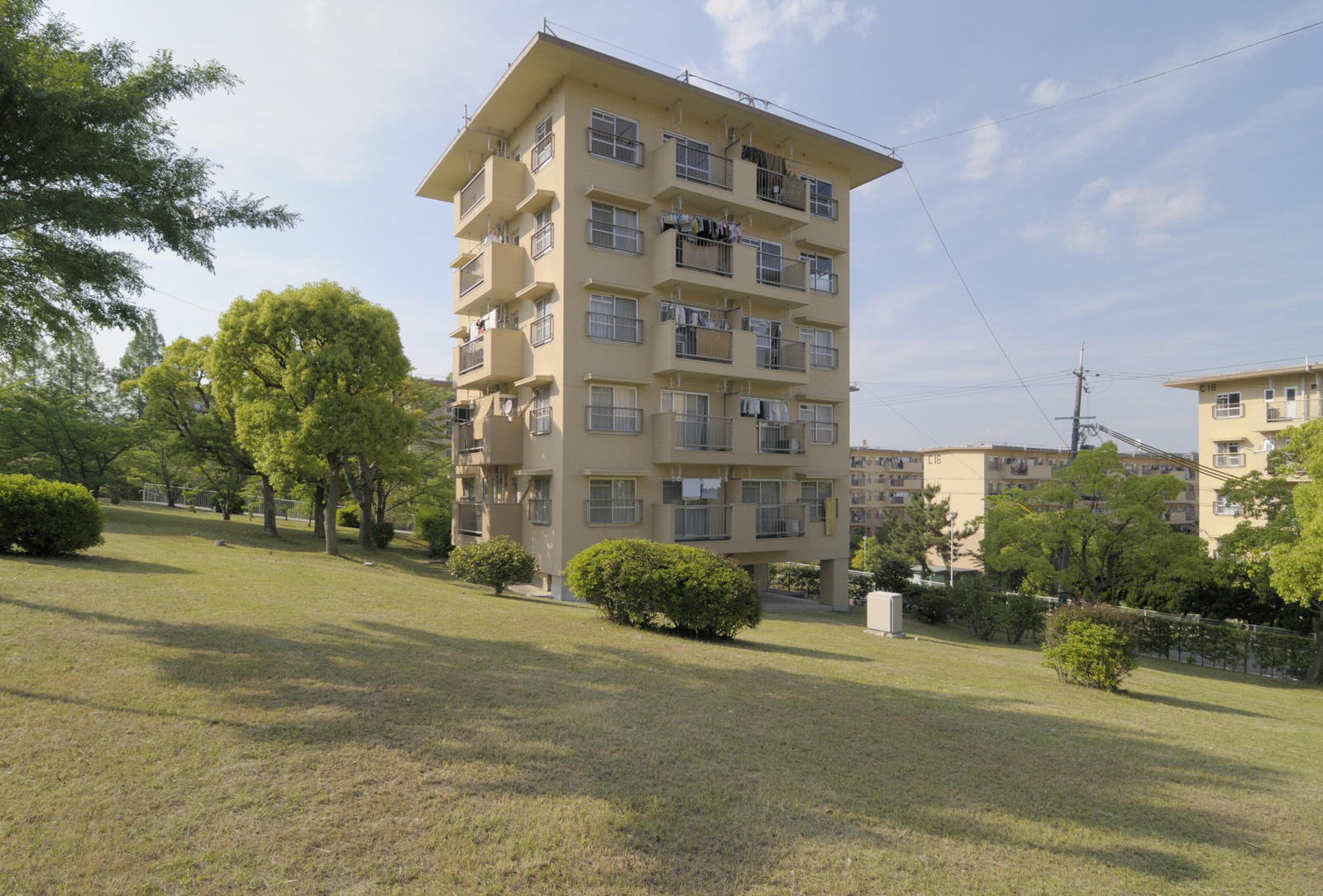
With the aim of creating harmonious communities consisting of various and different residents, all types of dwelling were provided including detached houses, collective housing (consisting of public rental units by the Osaka prefectural/municipal governments/Osaka Prefectural Housing Corporation/Japan Housing Corporation (present Urban Renaissance Agency), and public/private units for sale), as well as company housing. Allocating collective housing in the center of each neighborhood unit and detached houses on its periphery, it was designed to create a townscape where residents benefit from quick access to key facilities.
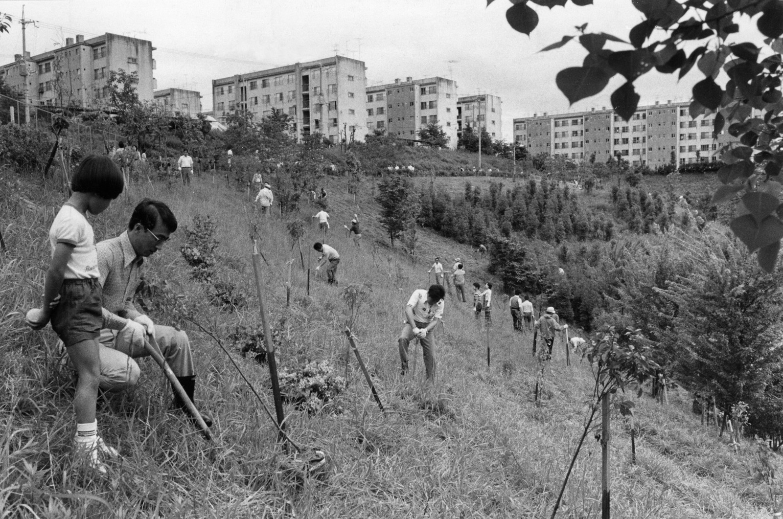
Rich green spaces and safety
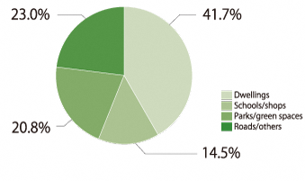
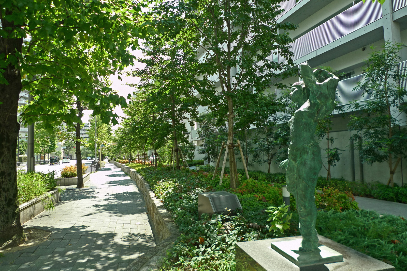
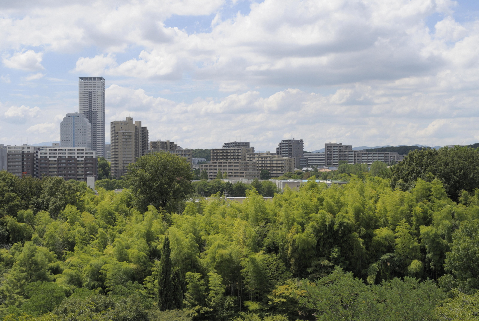
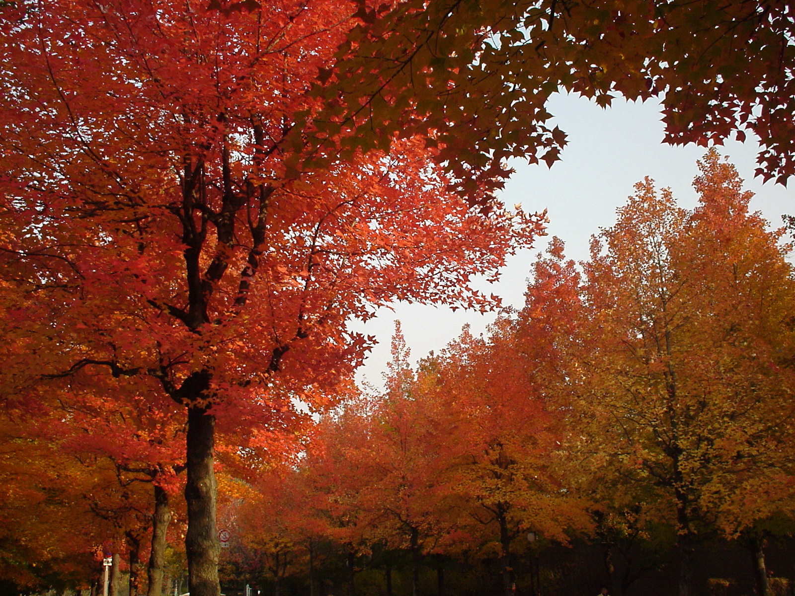
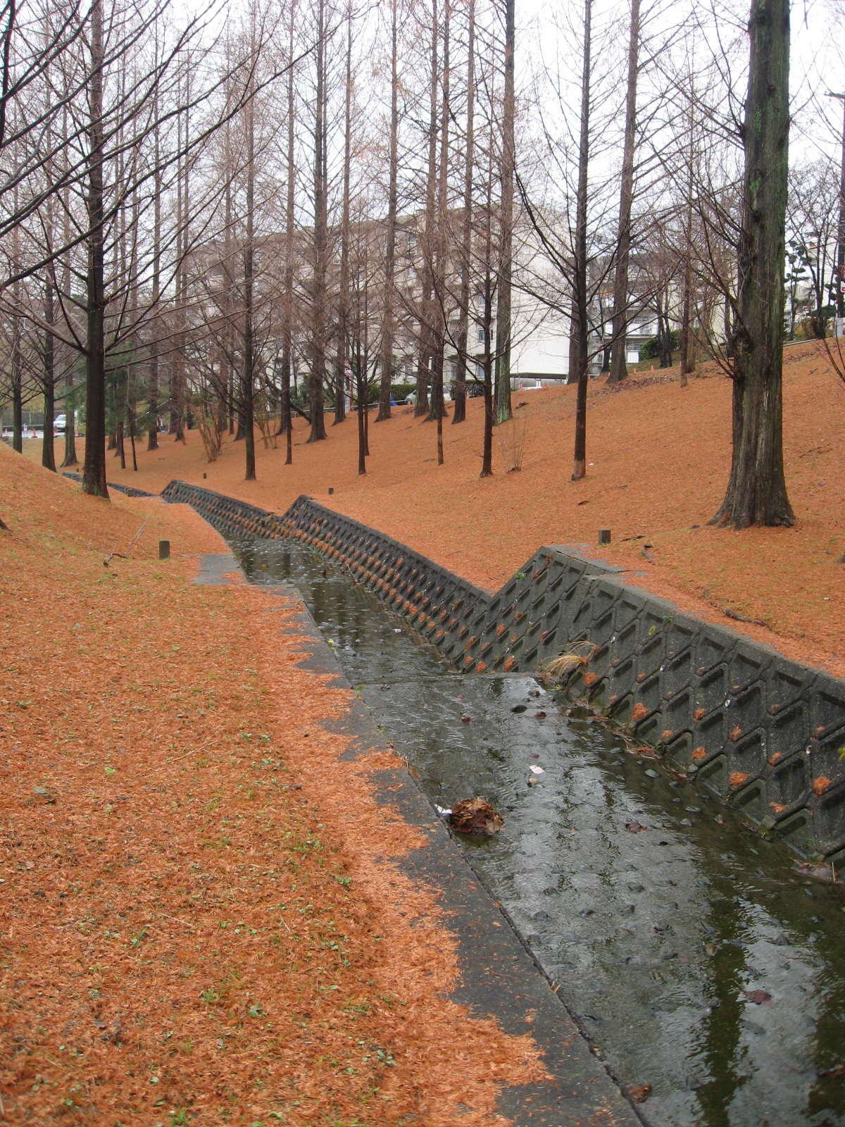
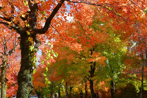
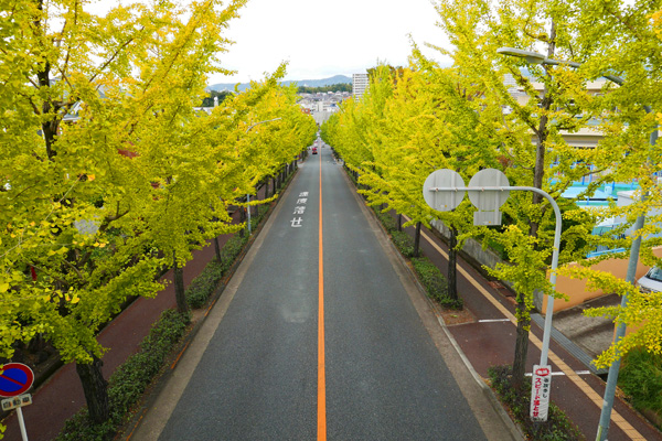
Out of the total area of 1,160 hectares, 42% is residential, of which the detached houses and collective housing ratio is about the same. Abundant space was allocated to public spaces such as roads and parks, especially parks and other green areas, which occupy approximately 21% of the total area. In order to protect the environment, the entire New Town site is enclosed by a surrounding green zone, while every district and neighborhood unit is dotted with parks. This lavish amount of vegetation is the strikingly unique feature of Senri New Town, exceeding by far that of collective housing complexes built before it and the new towns that followed it.
Sources: Materials prepared by the Senri New Town Regeneration Liaison
Council for the “1st Study Committee for Regeneration of Senri New Town”
Another feature is that the traffic lines of pedestrians and automotive vehicles are separated as much as possible to maintain the safety of residents. Enclosing open spaces with buildings, while making good use of the varied topography of its hilly land form, the Radburn Layout was introduced in which cul-de-sacs running off the main roads were planned throughout as service areas, providing residents with spacious and quiet open spaces.
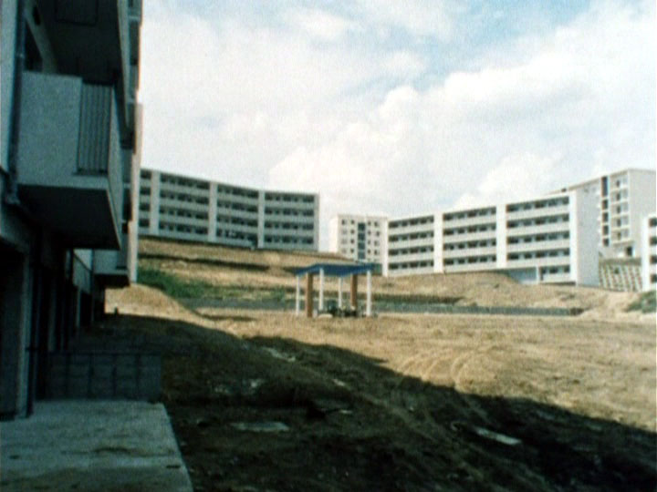
Photo courtesy of the Osaka Prefectural Government
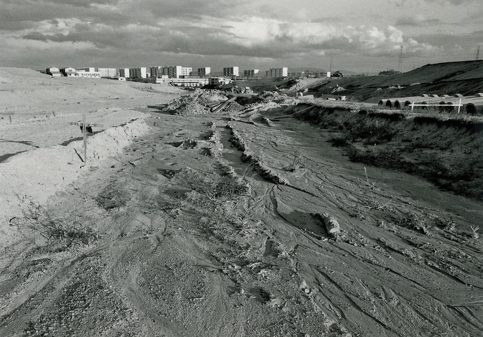
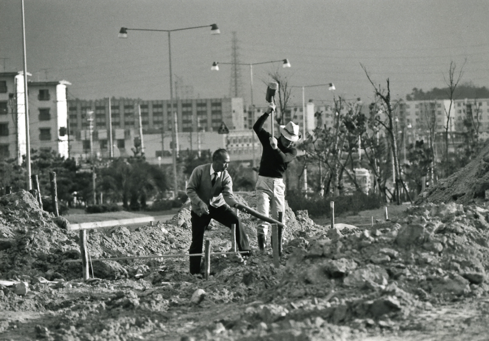
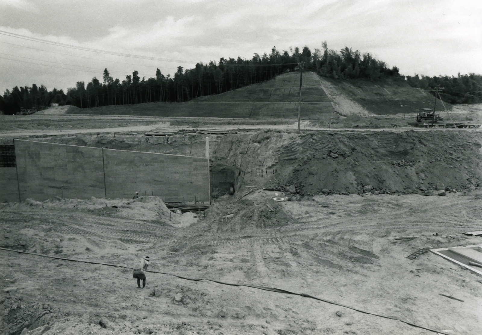
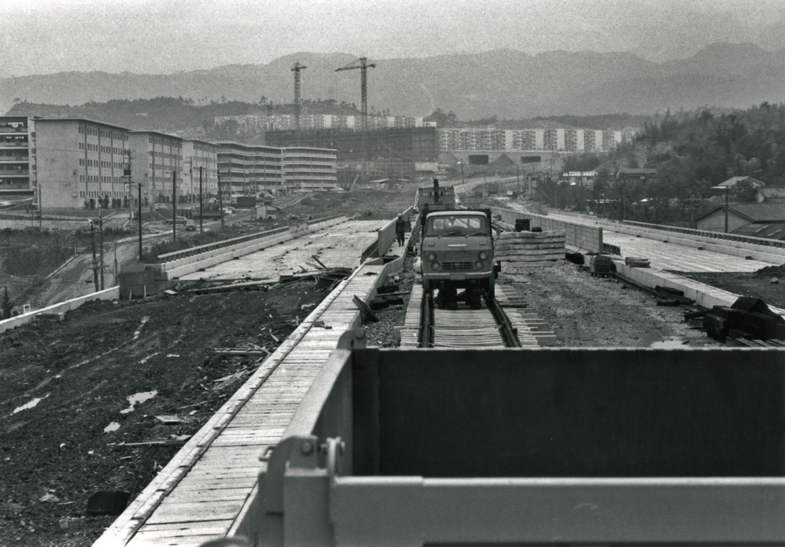
3.Transition
Spectacular “Success in Senri”
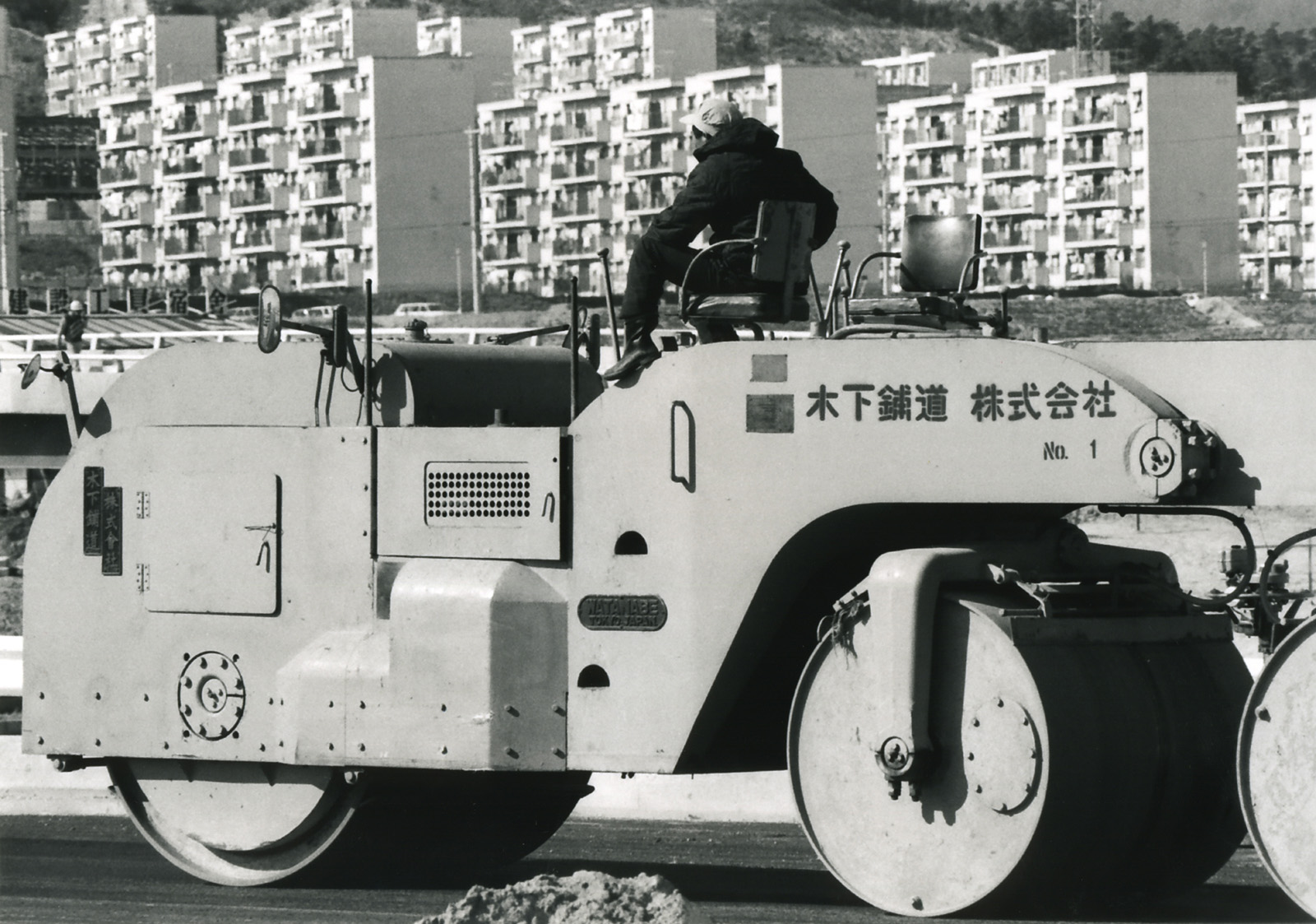
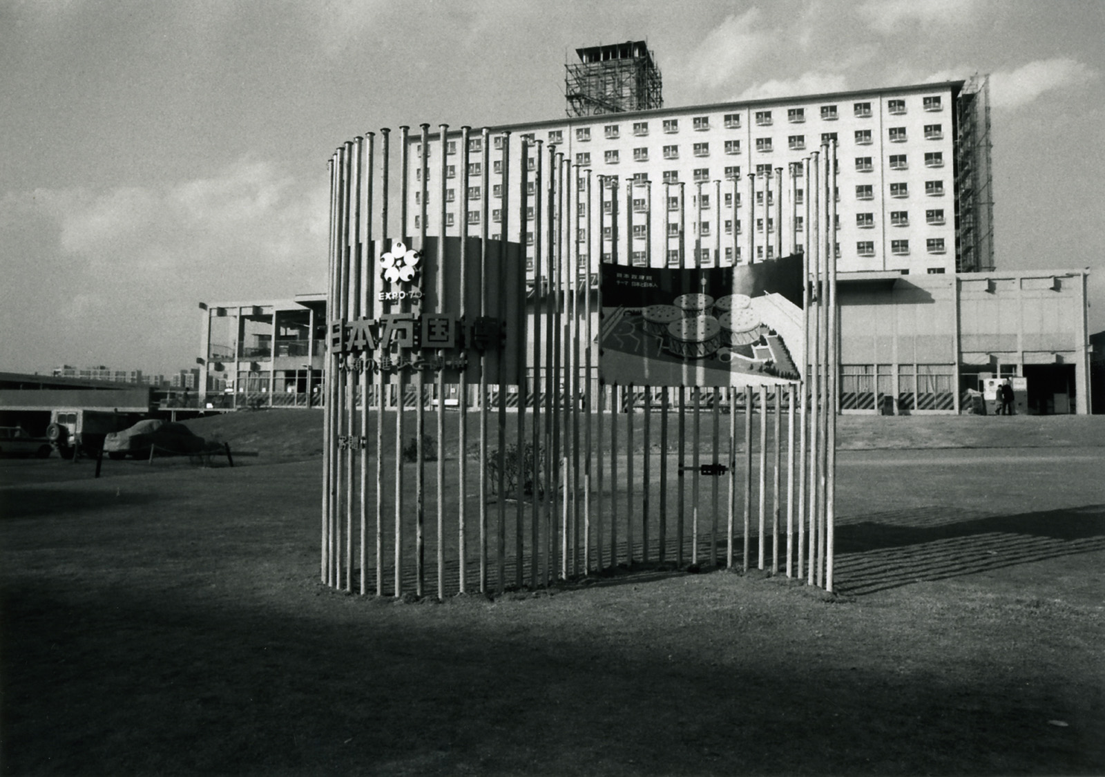
The construction of Senri New Town took only eight years amid the rapid economic growth period from 1962 to 1970. Simultaneously with its completion, the year 1970 saw Expo ’70 held on a neighboring site, while the transportation and environment in this area was rapidly improved, making the name Senri very famous with the image of “a futuristic city” because everything was new and progressive. Many more new towns were constructed throughout Japan based on the Spectacular model of Senri New Town. Numerous visitors came to Senri, including members of the royal family, domestic and foreign politicians, and government officials.
History unique to the new town
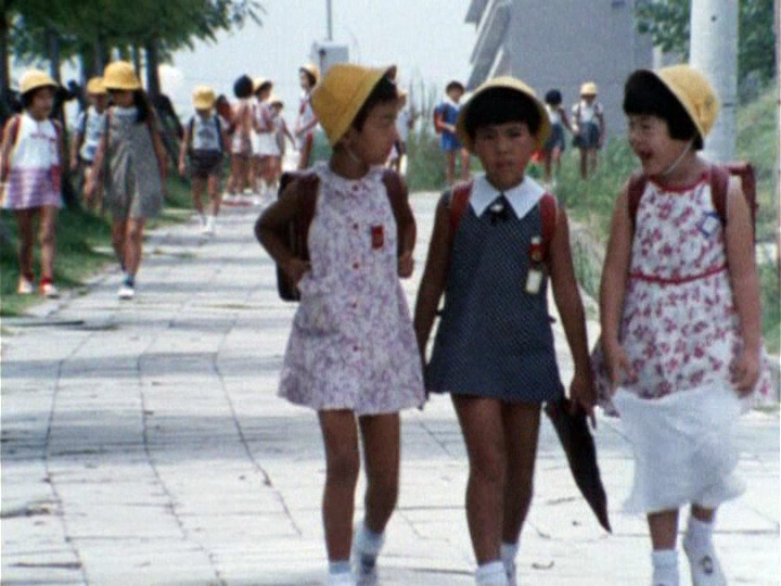
The town, which was built entirely in a short period of time, began to develop a unique trajectory. At the beginning of the development, young nuclear families of a similar generation moved in at once, and soon there was a dramatic increase in the number of children and a shortage of elementary schools.
In Senri New Town, which had many small apartment complexes (danchi) for rent, residents were expected to move out as their children grew up, but many residents completely loved the “charm of Senri” with its well-developed environment and convenience, and chose to continue living there despite the limited space of each dwelling.
As a result, the “resident generation bias,” in which only certain generations are more numerous than others, was carried over and lifted, and since the parent generation remained after the children eventually became independent, the aging of the population has rapidly increased since around the 1990s. At the same time, the number of empty classrooms in the schools increased and all the infrastructure simultaneously deteriorated, leading to the nickname “Old Town”.
Although such generational polarization is a unique phenomenon of the Japanese new towns overall, it was particularly evident in Senri New Town which had finished its initial occupancy before the oil-shock period in the 1970s. This is because the construction of new towns following Senri New Town slowed down during the oil-shock period, which contributed to a leveling out of the generation of new residents.
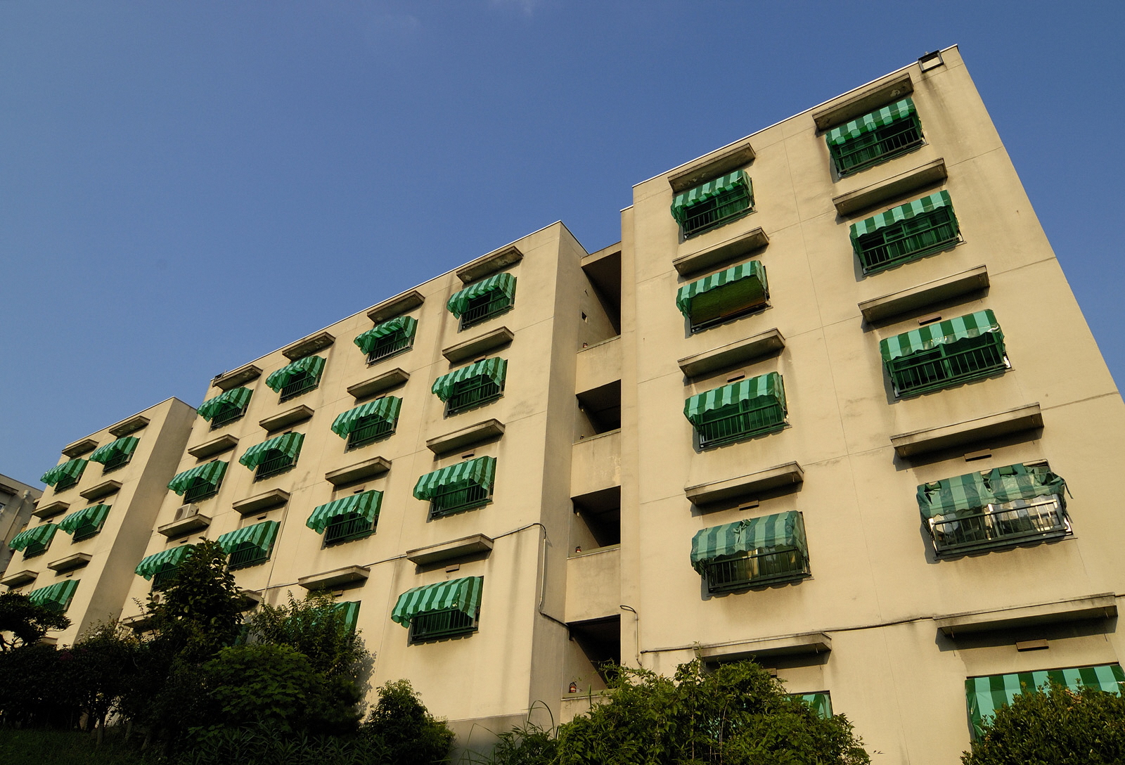
Housing
Many of the original detached houses were rebuilt at about the time of the so-called bubble economy in the late 1980s. The collective housing began its rebuilding when some of the company housing units were sold following the collapse of the bubble economy, and became private condominiums. From 2005 onwards, major rebuilding rapidly increased in both housing for sale and rent.
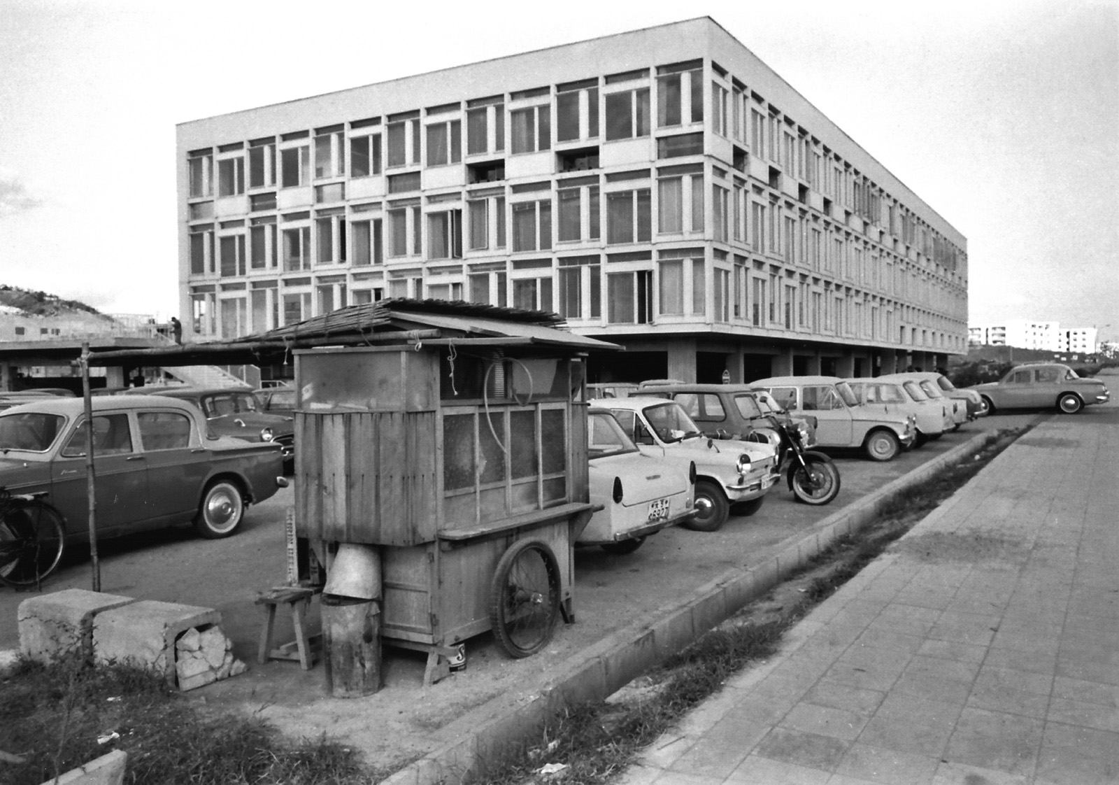
Commerce
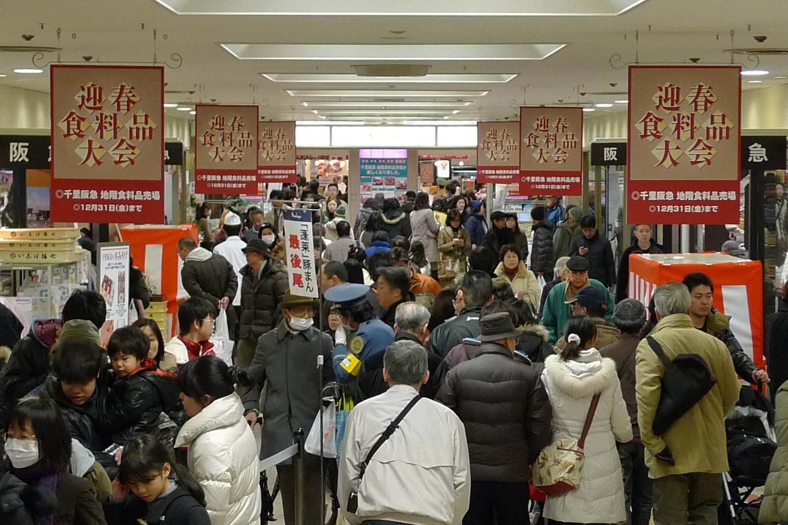
As many residents started to drive to large outside shopping facilities, the hollowing-out phenomenon advanced especially in the Neighborhood Centers, resulting in the withdrawal of their key retail shops and an increase in the number of vacant stores.
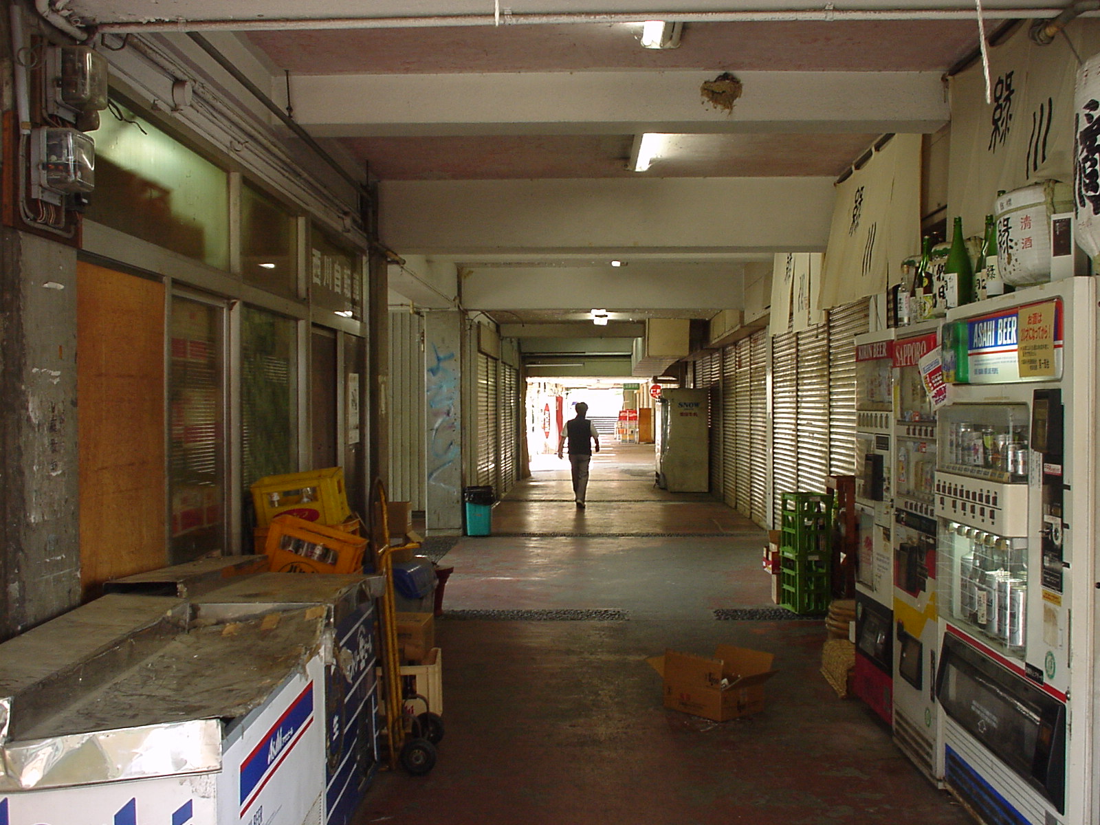
Photos courtesy of the Osaka Prefectural Government and OKUI Takeshi
4.Regeneration
The front-runner at all times
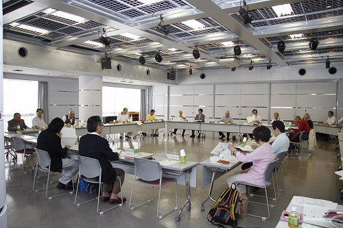
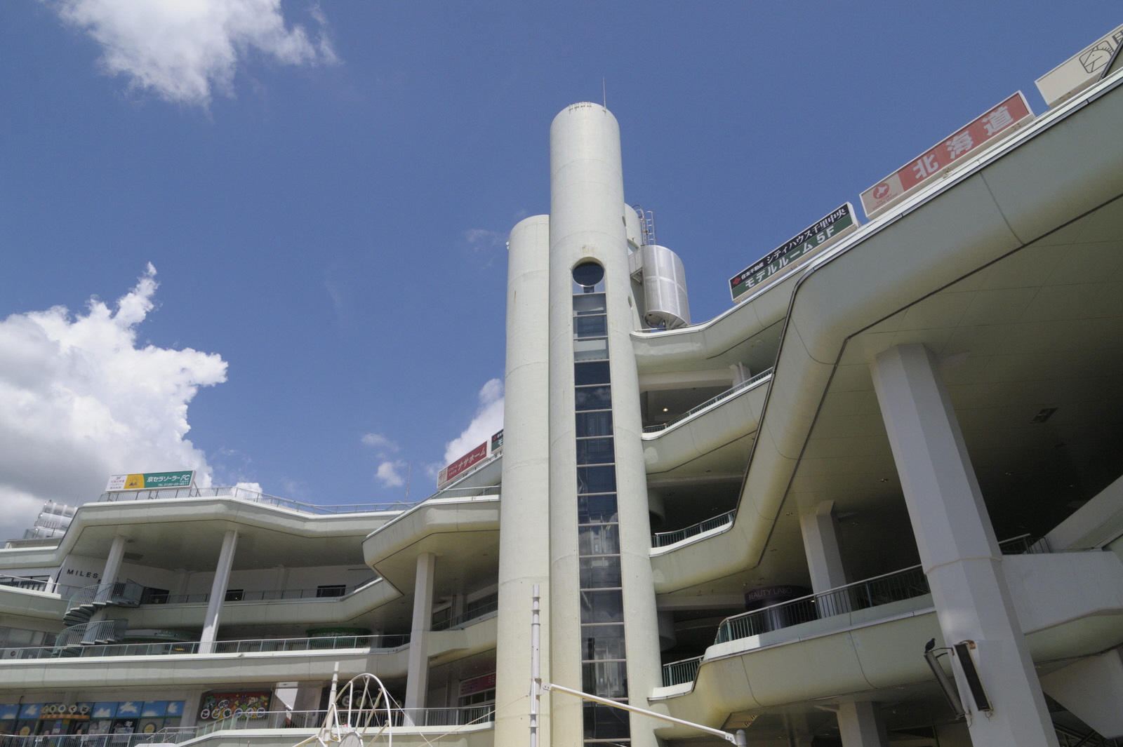
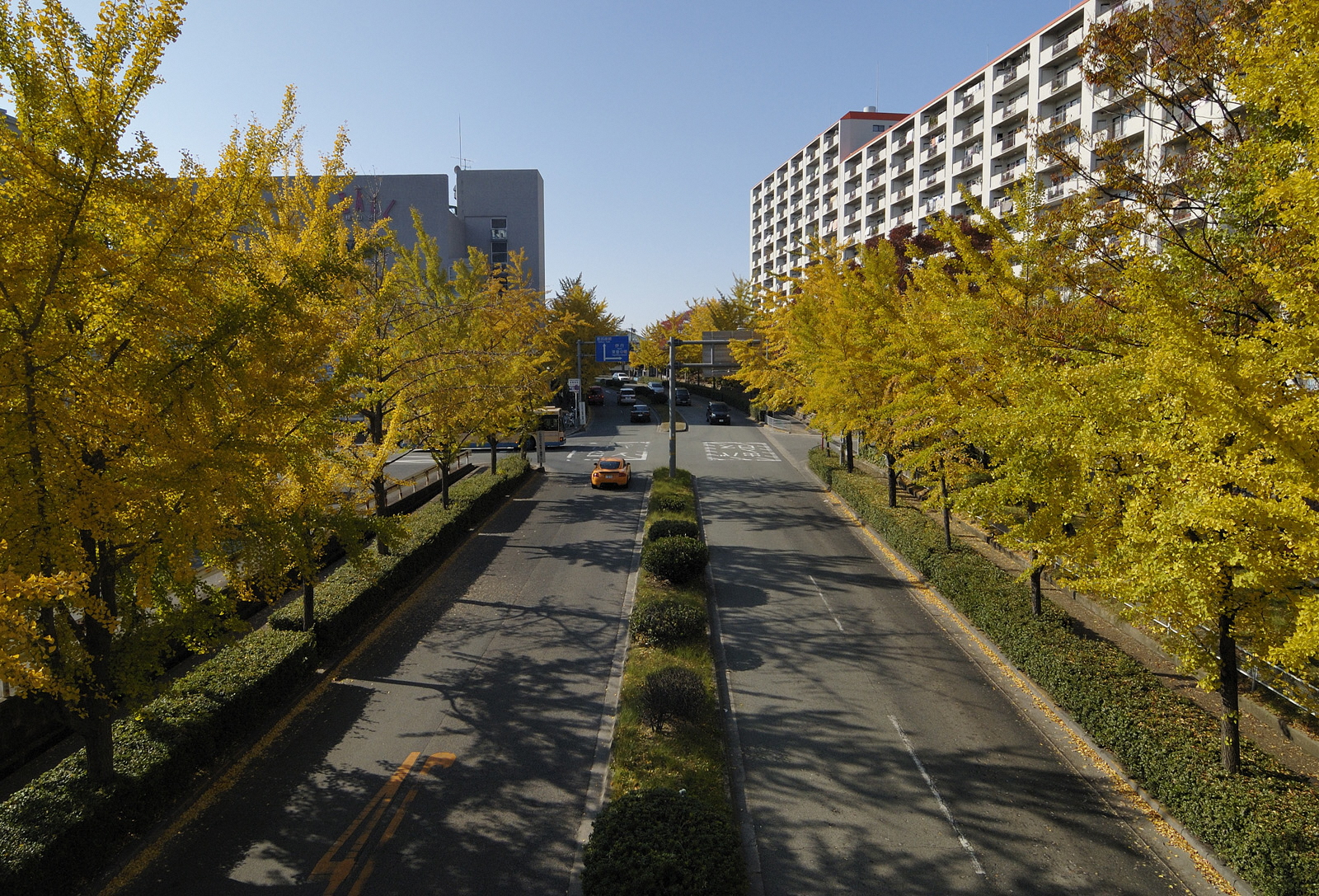
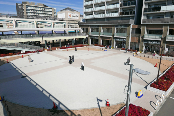
While Senri New Town enjoyed glorious attention as Japan’s first new town, it was also the first one to face many problems such as a declining birth rate and aging population. Thus it began to address its regeneration ahead of others. Although partial renewal had been carried out on a constant basis, it was in the 1990s when a full-scale revitalization of core facilities such as the District Centers began. Discussions over rebuilding of the collective housing units also began at approximately the same time, and especially since about the year 2000 when the 40th Anniversary of Senri New Town was approaching, it became an official task for which various ideas and guidelines were gradually formulated by the cities of Suita and Toyonaka together with their citizens. In 2007, Senri New Town Indicators for Regeneration were formulated in collaboration with Suita City, Toyonaka City, the Urban Renaissance Agency, Osaka Prefectural Housing Corporation, and Osaka Prefecture Town Management Foundation. By placing emphasis on the open atmosphere typical of new towns and taking advantage of its good location, the path was laid to attract new residents. This expedited the rebuilding of old collective housing complexes and construction of private condominiums, contributing to an increase in its overall population including the number of children.
Population
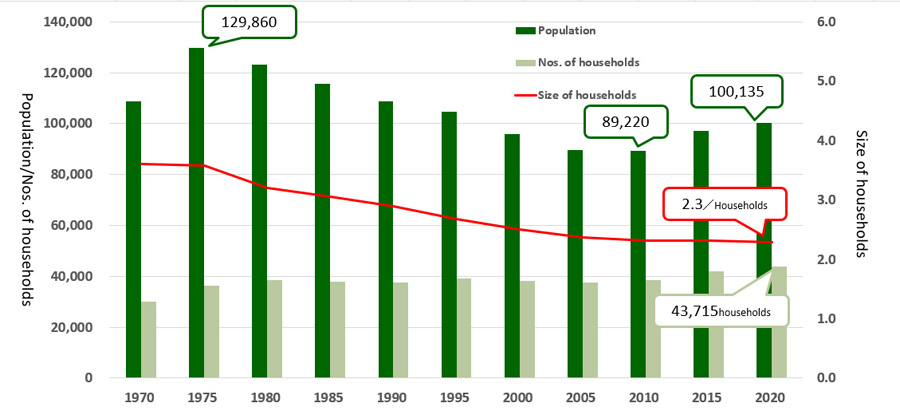
Since its peak of approximately 130,000 in 1975, the population of Senri New Town continued to decrease and was less than 90,000 at the time of the national census in 2005. The number of households had remained more or less unchanged since 1980 to 2010. It shows the number per household has decreased, not that the number of vacant house has increased (Household downsizing is a nationwide trend in Japan).
Since 2010, the population has increased by more than 10,000 people to re-exceed 100,000 and the number of households has increased by 5,000 in 10 years as a result of the effects of numerous revitalization measures.
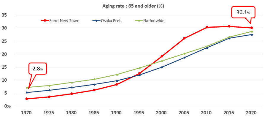
The aging rate began to soar in about 1990, become higher than the entire Osaka Prefecture average and all over Japan, but this too has leveled off in recent years due to revitalization measures. This is a result of the parallel influx of younger residents and the aging of long-time residents.
●For the latest population statistics, click here.
Efforts to improve our town
Senri New Town is constantly changing due to its excellent location. In the District Centers in front of the stations, the second round of renewal is underway after the first round. In the Neighborhood Centers, by utilizing their vacant store spaces for community-related and life support facilities, have great potential to play a new role as the core for ‘the walkable town’. With the strong resident attachment to this town, activities of the community associations and residents’ groups are very vigorous. In parallel with the aging original residents, families raising children have returned to Senri New Town. Collaboration between the young and old is the theme of this town.
Senri New Town is still an experimental city, and its regeneration continues to inspire new towns both in Japan and overseas such as other Asian countries. “The first new town” is and will always be “the first new town”.
Photos courtesy of the Osaka Prefectural Government and MATSUURA Hiromasa
History
| 1958 | Senri New Town development project became official. | |
| 1960 | Master plan completed. | 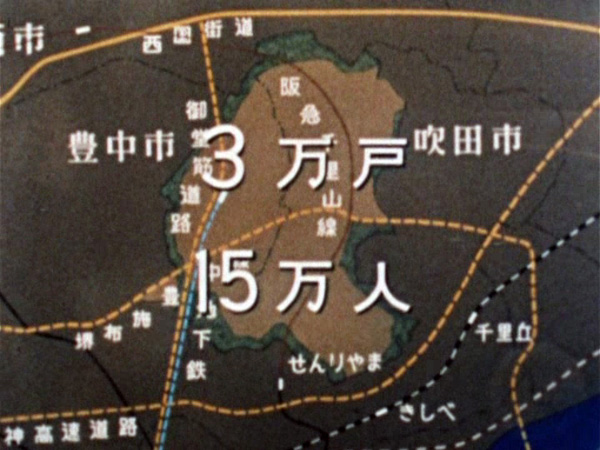 |
| 1961 | Groundbreaking ceremony held. | |
| 1962 | Occupancy began in the Satakedai unit, marking the opening of Senri New Town. | 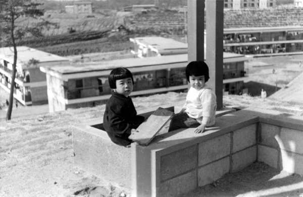 |
| 1963 | Occupancy began in the Takanodai and Tsukumodai units. Hankyu Senri Line between Senriyama and Shinsenriyama (present Minamisenri) stations opened (the first railway access to Senri New Town). | 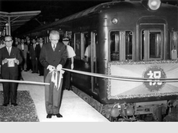 |
| 1964 | Occupancy began in the Furuedai and Fujishirodai units. | 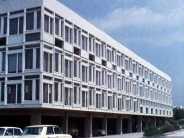 |
| 1965 | Occupancy began in Aoyamadai. Minami District Center specialty retail stores opened. | |
| 1966 | Occupancy began in the Shinsenri-kitamachi and Shinsenri-higashimachi units. | 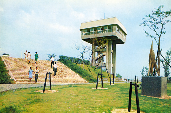 |
| 1967 | Shinsenri Hospital (present Saiseikai Senri Hospital) opened. Hankyu Senri Line between Minami-Senri and Kita-Senri stations opened (the world’s first automatic ticket gate introduced at Kita-Senri Station). Kita District Center specialty retail stores opened. Occupancy began in the Momoyamadai and Takemidai units. | 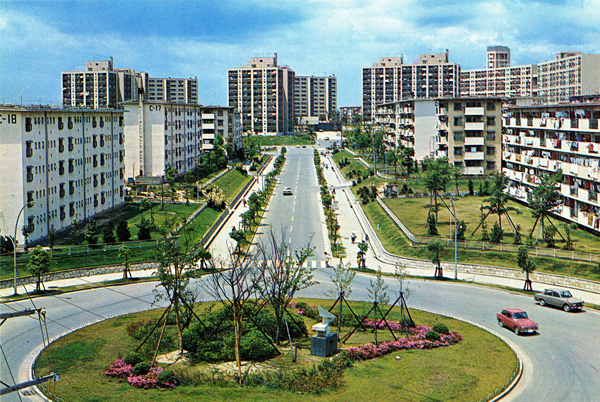 |
| 1968 | Occupancy began in the Shinsenri-nishimachi and Shinsenri-minamimachi units. Osaka University began to move to the Suita Campus. | |
| 1969 | Population exceeded 100,000. | 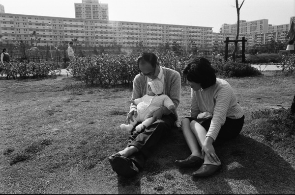 |
| 1970 | Japan World Exposition (Expo ’70) held. Kita-Osaka Kyuko Line, Shin-Midosuji Blvd. and the Osaka-chuo-kanjo-sen Belt Line opened. Chuo District Center opened. Senri New Town development project completed. | 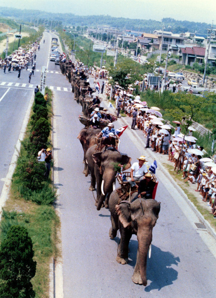 |
| 1971 | Expo ’70 Commemorative Park opened. | |
| 1972 | Selcy entertainment complex opened. (The ban on resale began to be lifted starting with detached house plots following 10 year occupancy.) | 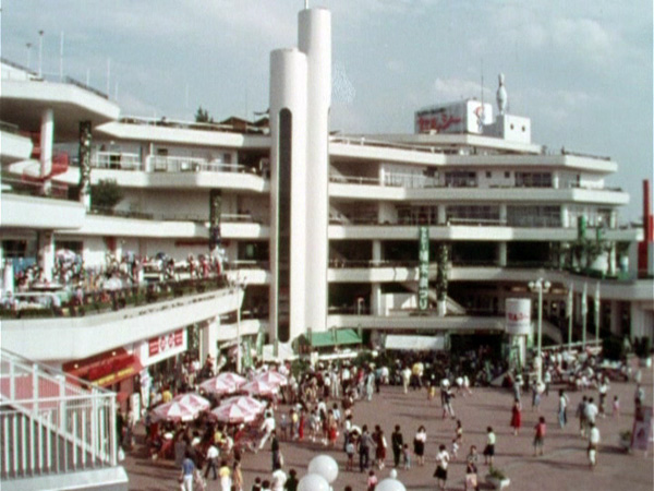 |
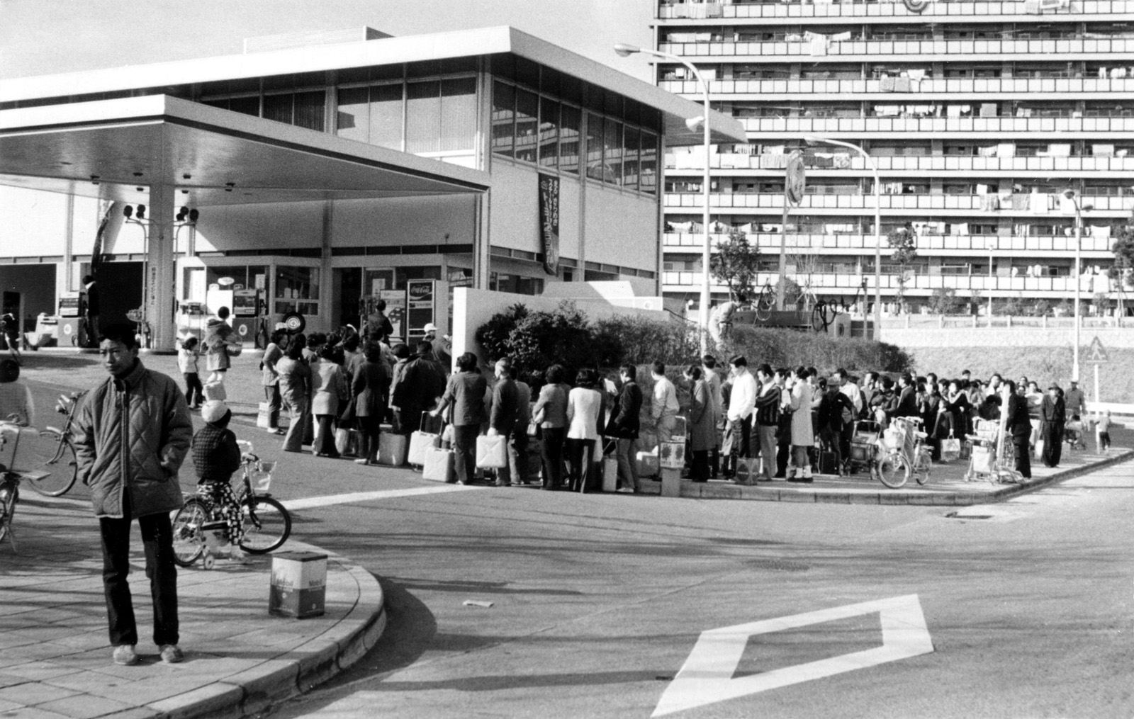
| 1973 | The ‘toilet paper panic’ due to the oil crisis started in Senri New Town, and spread throughout Japan. Hankyu Senri Line Yamada Station opened. The first primary school not included in the master plan opened to accommodate a rapid increase in the number of children. Development of the surrounding area expanded with the apartment construction boom. | 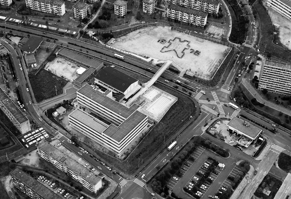 |
| 1974 | (As private bathrooms increased, the use of public baths in the Neighboring Centers began to decline.) | |
| 1975 | Population peaked at 128,993. |  |
| 1977 | National Cerebral and Cardiovascular Center opened. National Museum of Ethnology opened in the Expo ’70 Commemorative Park. | 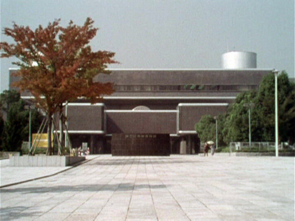 |
| 1978 | One-room extension of prefectural housing began. (Libraries, community halls and gymnasiums began to be opened one after another.) | 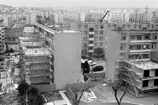 |
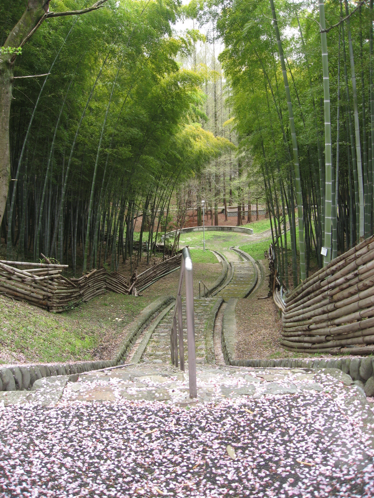
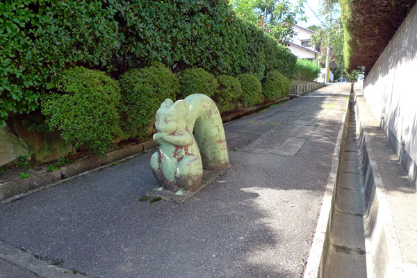
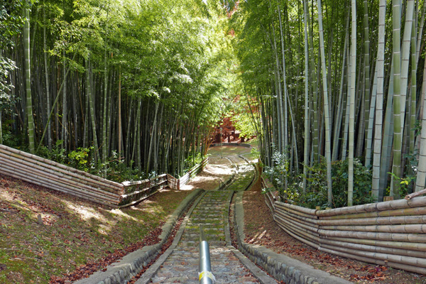
| 1982 | Bamboo forest in Senri Hills selected as one of Japan’s 100 best natural sceneries. | 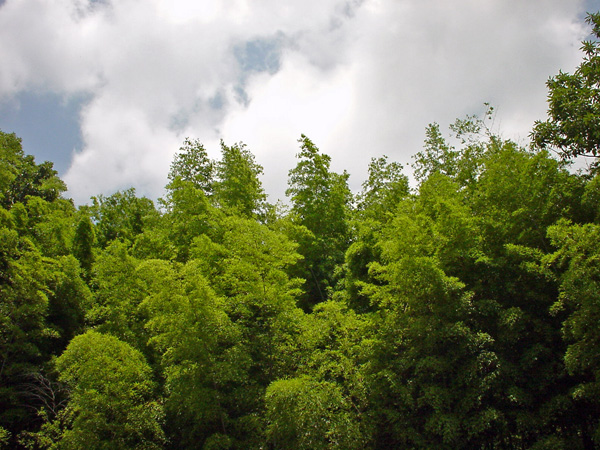 |
| 1990 | Senchu PAL opened (phase1). Osaka Monorail between Senri-Chuo and Minami-Ibaraki stations opened. | |
| 1991 | Senchu PAL opened (phase2). (Company housing began to be rebuilt as private condominiums, and rebuilding of collective housing complexes began to be considered.) | 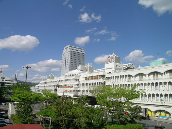 |
| 1993 | Osaka University Hospital moved to a neighboring area. | |
| 1994 | Dios Kitasenri commercial complex opened. | 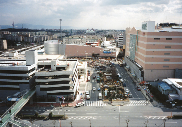 |
| 1997 | AZAL Momoyamadai commercial complex opened. Population decreased to less than 100,000. | |
| 2002 | Senri New Town Citizens Forum held. | 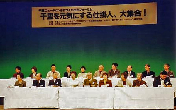 |
| 2004 | Garden Mall Minamisenri commercial complex opened. | |
| 2005 | Population of 65 years and over exceeded 25%. | |
| 2006 | Senri New Town Exibition held (Suita City Museum). | 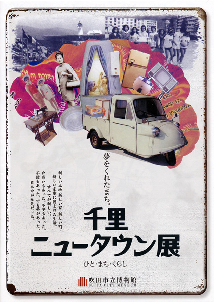 |
| 2007 | Senri New Town Indicators for Regeneration formulated. Population bottomed out at 89,212. |  |
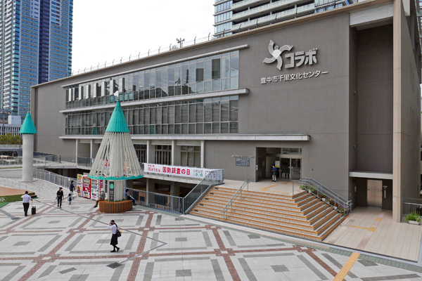
| 2008 | Senri Culture Center “Collabo”, Toyonaka City opened. |  |
| 2011 | Redevelopment of Senri Chuo District Center completed. | |
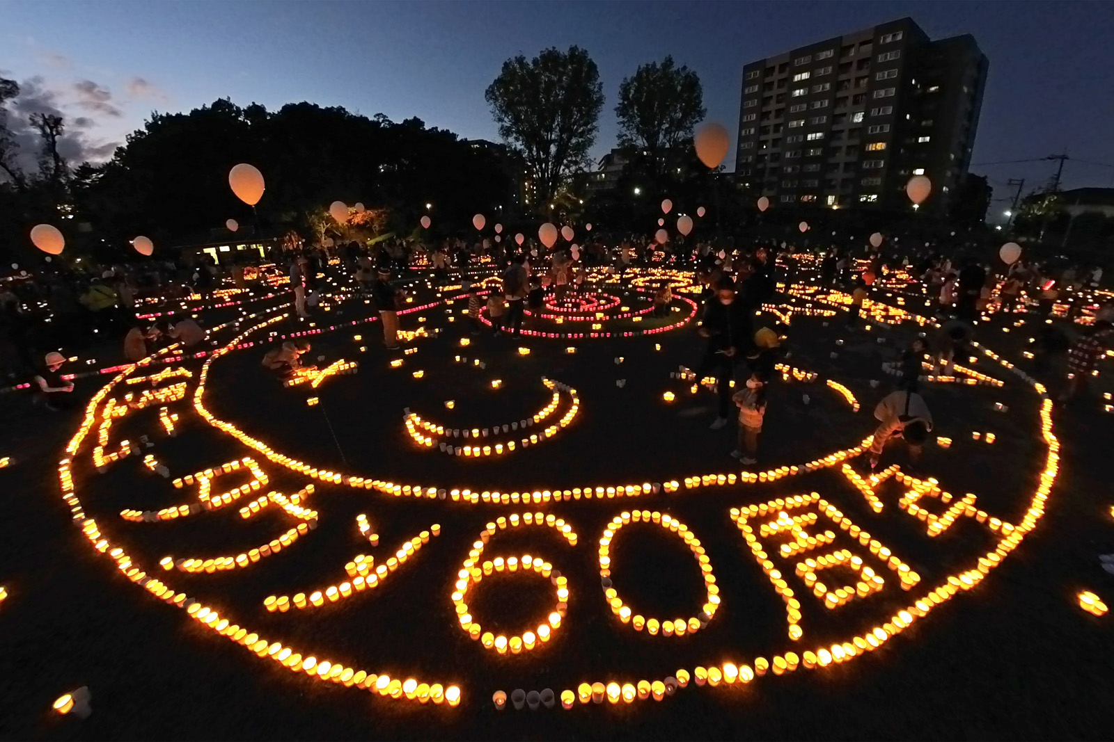
| 2012 | Senri New Town Plaza (Senri New Town Information Center), Suita City opened. 50th Anniversary of Senri New Town Senri Candle Road started. | 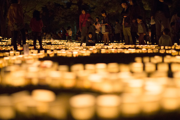 |
| 2015 | SENRITO Yomiuri culture complex opened. | |
| 2017 | Water Battle event started. Senchu Shibafu Night Theater started. | 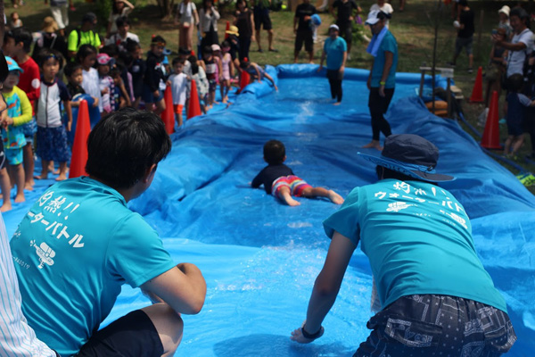 |
| 2018 | Senri New Town Indicators for Regeneration 2018ver. formulated. Northern Osaka Earthquake hit. |  |
| 2019 | Redevelopment of Senri Minami District Center completed. Population exceeded 100,000 again. | 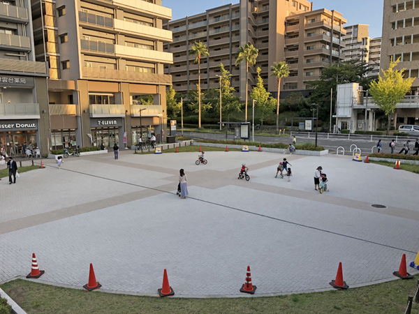 |
| 2020 | 50th Anniversary of Senri New Town development project completed, Chuo District Center & Kita-Osaka Kyuko Line opened, Expo ’70 held. 30th Anniversary of Osaka Monorail opened. | 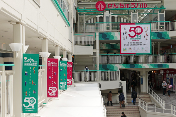 |
| 2022 | 60th Anniversary of Senri New Town Kita-Senri Public Center “Machinata Living” opened. | 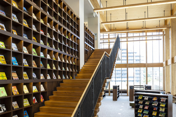 |
Photos courtesy of the Osaka Prefectural Government, KOKUSAI SOGO KIKAKU, Suita City Museum, Senri Citizens Forum, Hankyu Corporation,
AKAI Sunao, IIJIMA Yukiko, UBUKI Tamihiko, OKUI Takeshi, KITADA Junzo, TABATA Chizuru, NAGAI Toshio and MATSUURA Hiromasa.
MAP
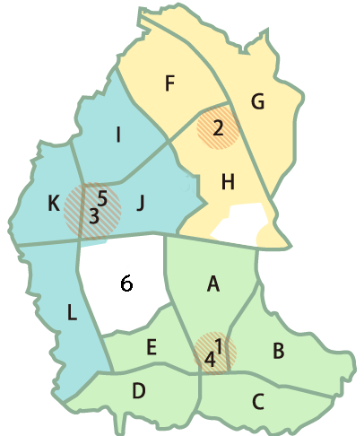
Minami District (Suita City)
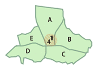
1. Minami District Center
With the Hankyu Minamisenri Station (opened in 1963) as its core, it is located in the longest-established part of Senri New Town, and served as its entrance until the Chuo District Center was built in 1970. Redevelopment has been finished and has a new face now. (MAP) (photo)
A. Tsukumodai
Occupancy began in 1963. Located in the center of the Minami District, with the Minami District Center and Senri Minami Park. The essential services required for new towns are centered in the 7-chome area in the north. (MAP) (photo)
Kita District (Suita City)
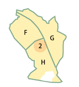
F. Aoyamadai
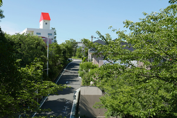
Occupancy began in 1965. Located on the highest hill of the New Town, it has many vantage points, and the view of the collective housing complex on the slope spreading north west from Kitasenri Station is impressive. (MAP) (photo)
Chuo District (Toyonaka City)
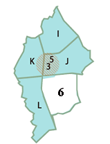
3. Chuo District Center
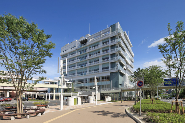
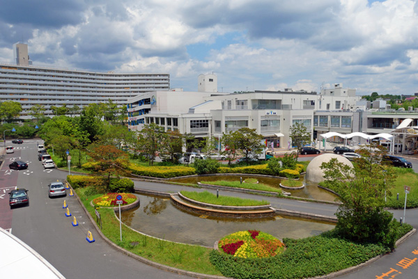
With Senri-Chuo Station, Kita-Osaka Kyuko Line (opened in 1970) as its core, it is the largest District Center of Senri New Town, attracting many users also from outside as the new urban core of northern Osaka i.e. Greater Senri. It has a business quarter on the west side of Shin-Midosuji Blvd. (MAP) (photo)
6. Kamishinden
This area contains a village from the early Edo period (1600 – 1867), that is more than 400 years old. During the initial New Town development stage, only the surrounding fields and hills were purchased and the village itself was excluded from the development project, resulting in the preservation of this traditional townscape in the middle of a city of the future. However, many private apartments have since been built here. (MAP) (photo)
I. Shinsenri-kitamachi
Occupancy began in 1966. The first neighborhood unit developed in the Toyonaka City region, it includes the highest altitude spot in the New Town, and serves as the water distribution base for the north area. (MAP) (photo)
J. Shinsenri-higashimachi
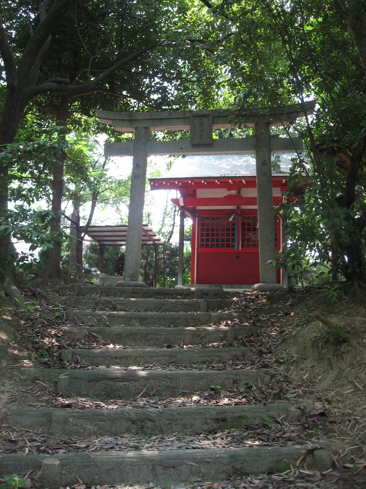
Occupancy began in 1966. The only unit which consists entirely of collective housing. It includes from the east side of Shin-Midosuji Blvd. in Senri-Chuo to Senri-Chuo Park. There is a dense bamboo forest preserved and tended by the residents in Senri-higashimachi Park. (MAP) (photo)
Photos courtesy of Senri New Town Research and Information Center, Daigas Energy and OKUI Takeshi
Gallery
Click each photograph to enlarge.
1960s-1970s


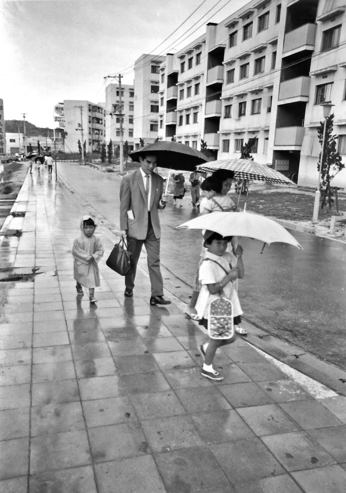


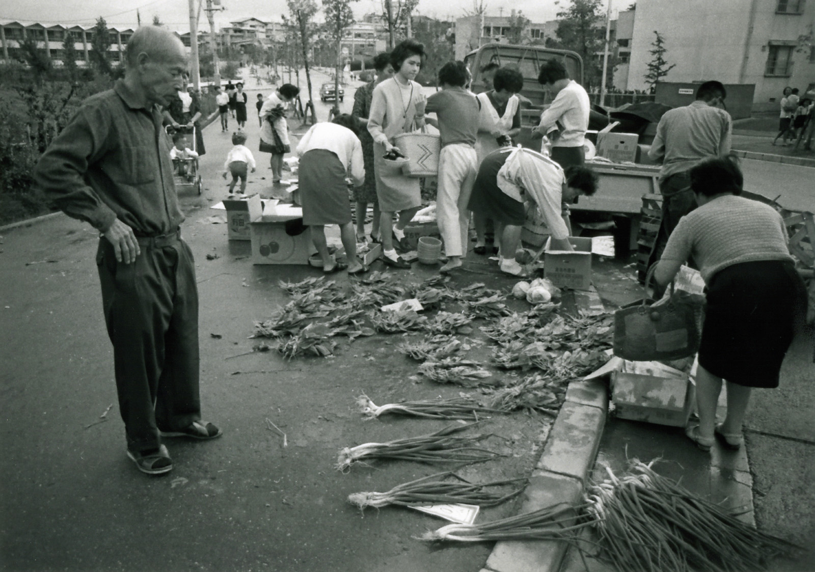
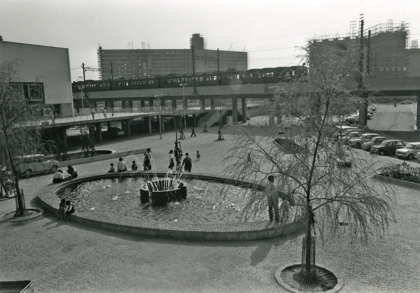
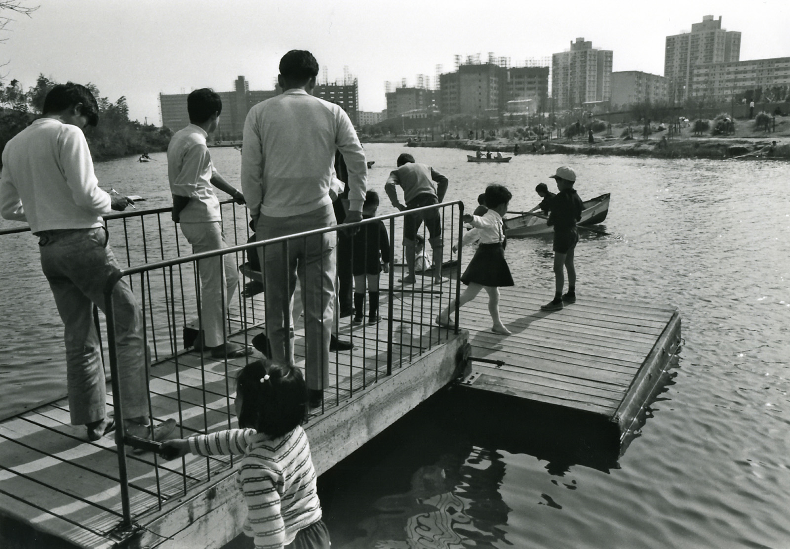


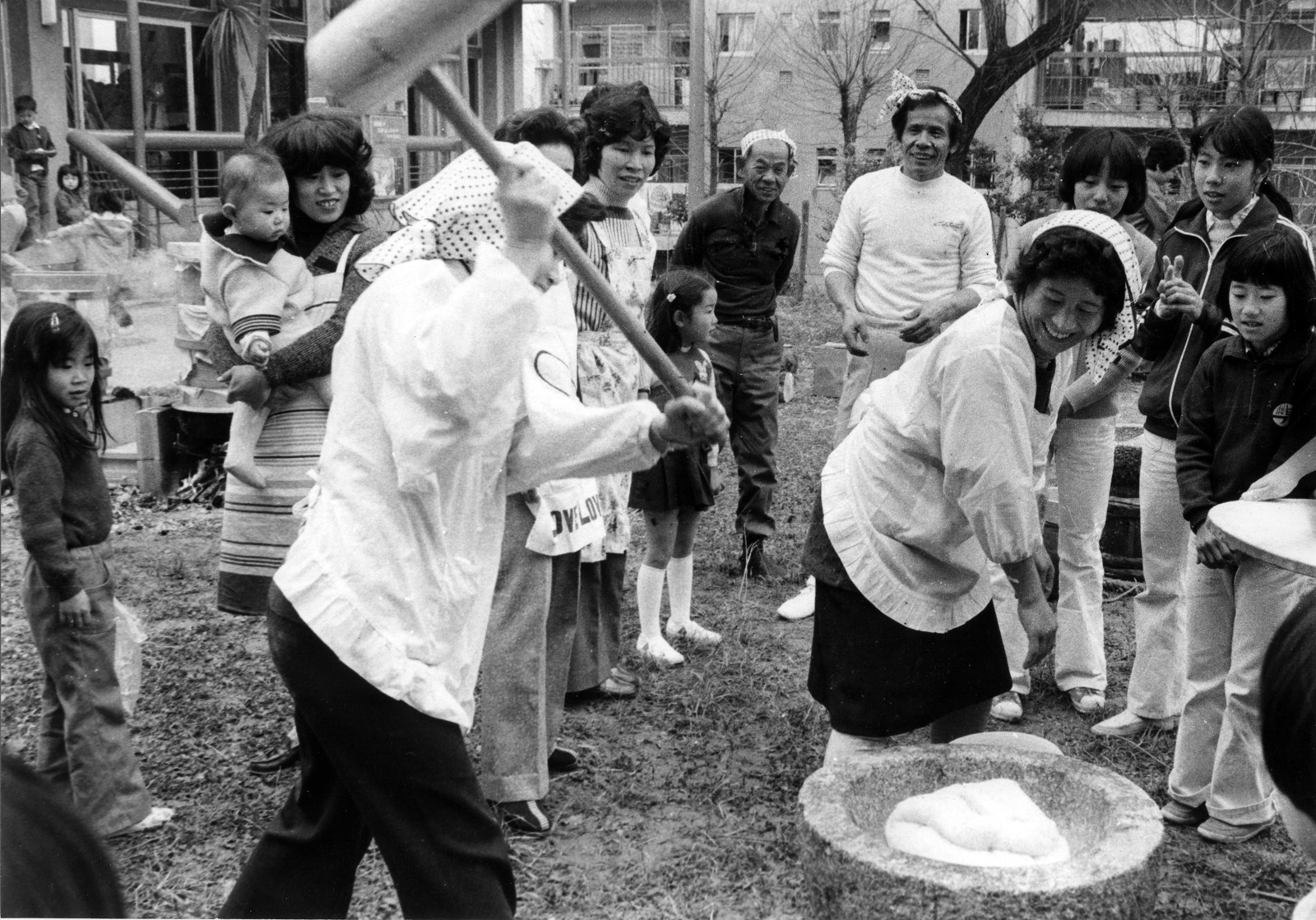
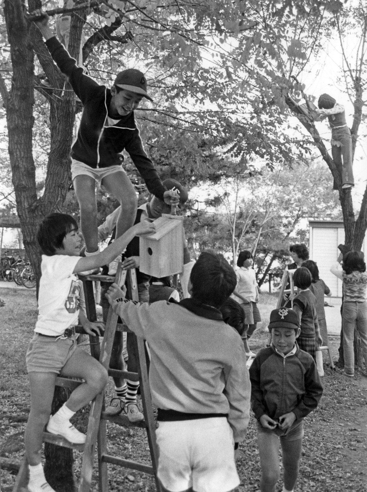
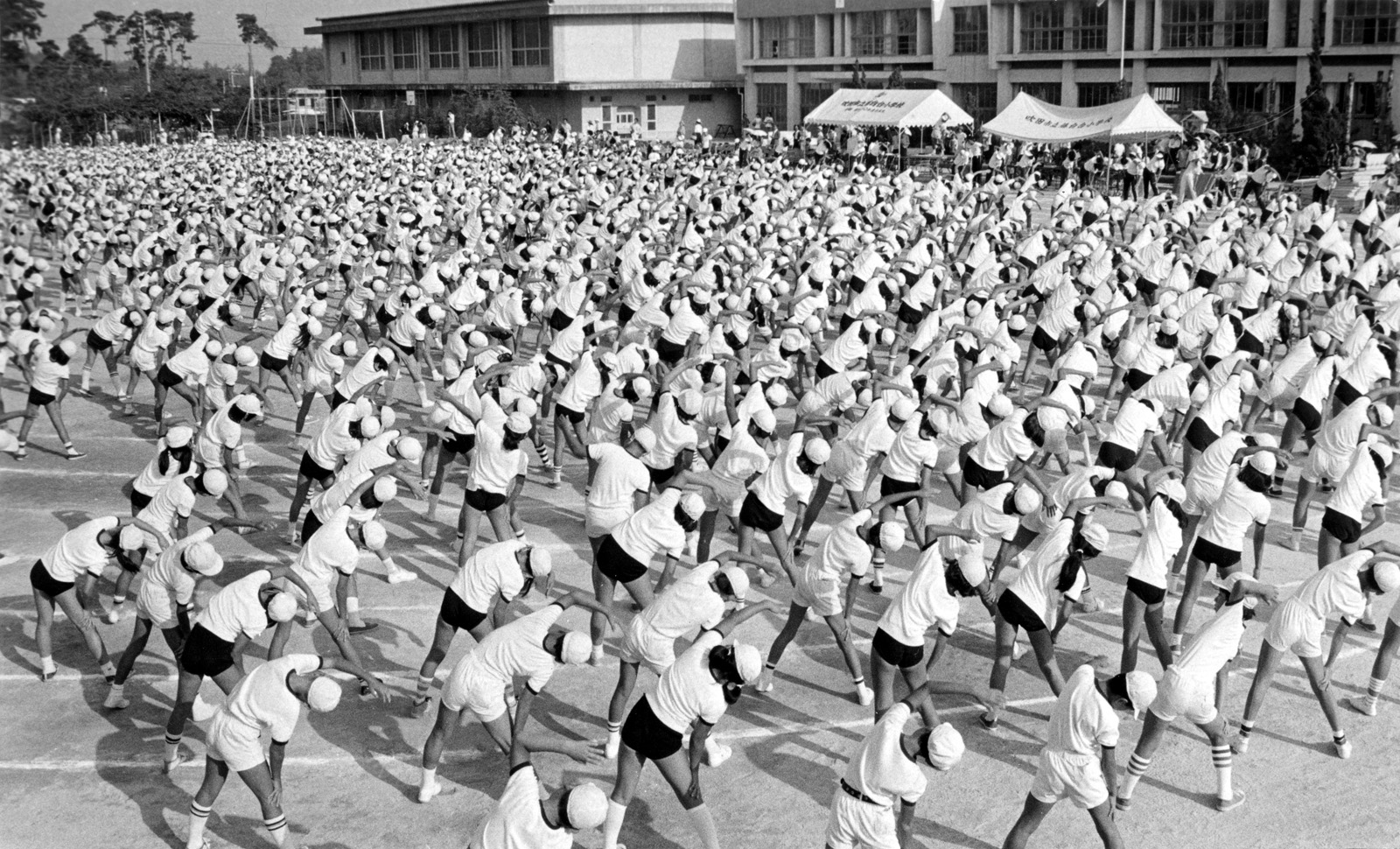
Photos by UBUKI Tamihiko(♦), AKAI Sunao (●) and NAGAI Toshio (○)
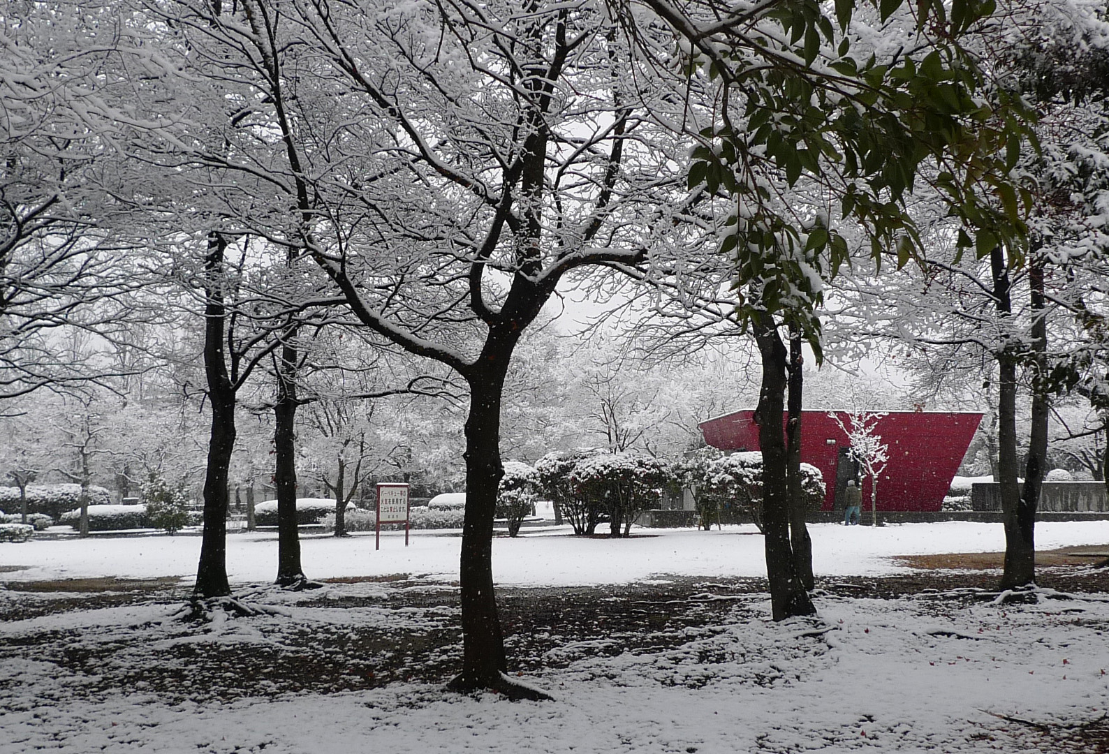
2000s-2010s


Photos by OKUI Takeshi (□) and TANAKA Yasuhiro (Study & Information Center for Senri Newtown) (■)
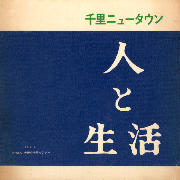
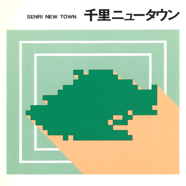
Material
Pamphlets produced by the Osaka Prefectural Government and its related organizations during the development period are included here with permission. (Click on each cover to view the contents in pdf format.) *Unauthorized use is prohibited.